Search results
Jump to navigation
Jump to search
Create the page "Map-actions.png" on this wiki! See also the search results found.
Page title matches
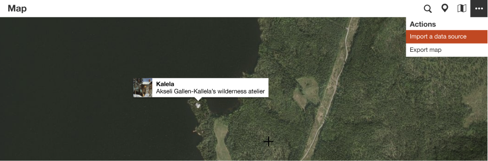
File:Map-actions.png (961 × 317 (313 KB)) - 07:08, 18 June 2020- 6 KB (921 words) - 14:37, 6 January 2022
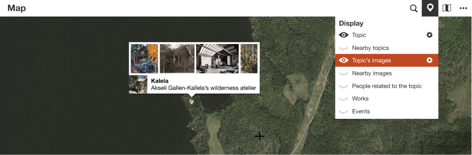
File:Map-images.png (961 × 317 (289 KB)) - 06:56, 18 June 2020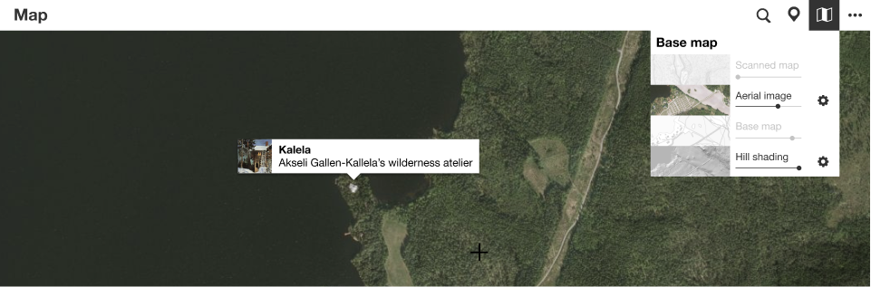
File:Map-layers.png (961 × 317 (292 KB)) - 07:40, 18 June 2020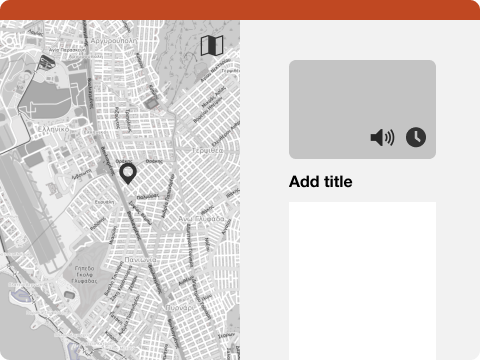
File:Map editor.png (480 × 360 (119 KB)) - 07:45, 4 November 2021- 3 KB (458 words) - 19:23, 11 December 2021

Page text matches
- 486 bytes (75 words) - 10:19, 7 February 2021
- 883 bytes (112 words) - 10:21, 7 February 2021
- 1 KB (195 words) - 13:25, 24 June 2020
- 809 bytes (118 words) - 19:43, 11 December 2021
- item describing a topographic map covering this geographic object0 statements, 0 sitelinks - 08:22, 21 August 2018
- 85 bytes (14 words) - 09:47, 27 December 2018
- 3 KB (458 words) - 19:23, 11 December 2021
- 2 KB (216 words) - 08:44, 6 December 2021
- 4 KB (622 words) - 08:45, 21 January 2022
- location map of place0 statements, 0 sitelinks - 08:06, 21 August 2018
- 6 KB (921 words) - 14:37, 6 January 2022
- image showing bathymetric chart, bathymetric map0 statements, 0 sitelinks - 08:07, 21 August 2018
- image of route map at Wikimedia Commons0 statements, 0 sitelinks - 08:04, 21 August 2018
- map containing details about the entire location0 statements, 0 sitelinks - 08:05, 21 August 2018
- 8 KB (1,226 words) - 11:54, 29 January 2019
- relief location map of place0 statements, 0 sitelinks - 08:06, 21 August 2018
- range map of a taxon0 statements, 0 sitelinks - 08:06, 21 August 2018
- 2 KB (312 words) - 08:37, 14 June 2020
- ID for Stepwell Atlas, a collaborative map and information resource for stepwells, stepped ponds and other notable stepped water architecture0 statements, 0 sitelinks - 08:21, 21 August 2018
- frame of reference used to produce a map0 statements, 0 sitelinks - 08:11, 21 August 2018