Difference between revisions of "Map"
Jump to navigation
Jump to search
Susanna Ånäs (talk | contribs) (→Map controls) |
Susanna Ånäs (talk | contribs) (→Map controls) |
||
| Line 28: | Line 28: | ||
* (Toponyms) | * (Toponyms) | ||
* (Data, configure and search) | * (Data, configure and search) | ||
| + | |||
| + | ===Timeline display=== | ||
===Search=== | ===Search=== | ||
Revision as of 09:02, 19 September 2018
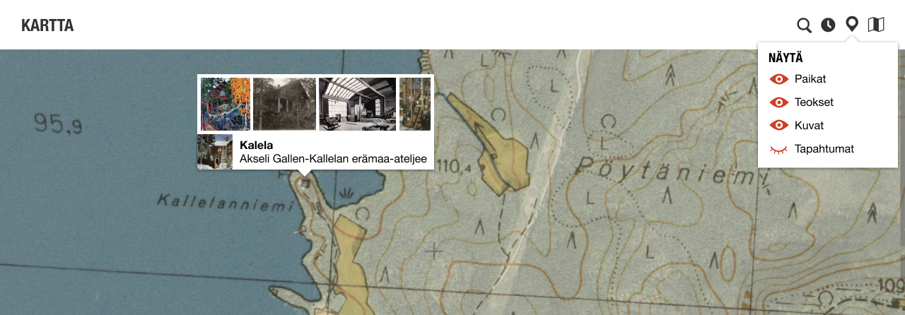
The topic is displayed on a map. A historical map can be displayed as a background layer. Different sets of items can be displayed on the map.
Contents
Map controls
- Base map
- OpenStreetMap, configure
- Available local map services, use data collected in OSM, configure
- Terrain, configure
- Orthophoto, configure
- International services, configure
- Local providers, configure
- Historical map, configure
- Best suggestion based on time and scale
- Select/search from available maps
- Configure menu and services
Display items
- The topic itself as a POI or a shape depending on data
- Nearby topics (POIs & shapes) // don't show if the topic contains multiple items --> from the pin?
- Images of the topic (aggregated into the topic or separate depending on visualisation)
- Nearby images (directional POI + image icon) // don't show if the topic contains multiple items --> from the pin?
- Events and routes (timeline locations, journeys)
- (Toponyms)
- (Data, configure and search)
Timeline display
Search
- Search location by place name
| About | Technology | Design | Content modules | Tool pages | Projects |
| Status
Wikidocumentaries Slack |
Setting up dev environment |
Components |
Active modules Module ideas |
Visual editor | Central Park Archives |

