Difference between revisions of "Geolocating tool"
Jump to navigation
Jump to search

| Line 1: | Line 1: | ||
[[File:Wikidocumentaries-geolocate.png]] | [[File:Wikidocumentaries-geolocate.png]] | ||
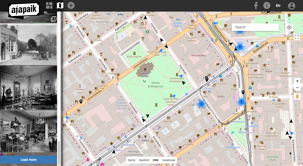
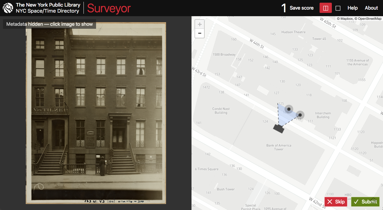
| − | [[File:Ajapaik.png|thumb|[https://ajapaik.ee/ Ajapaik] web app]][[File:Surveyor interface.png|thumb|NYPL Space/Time Surveyor]] | + | [[File:Ajapaik.png|thumb|[https://ajapaik.ee/ Ajapaik] web app]][[File:Surveyor interface.png|thumb|[http://spacetime.nypl.org/surveyor/ NYPL Space/Time Surveyor]]] |
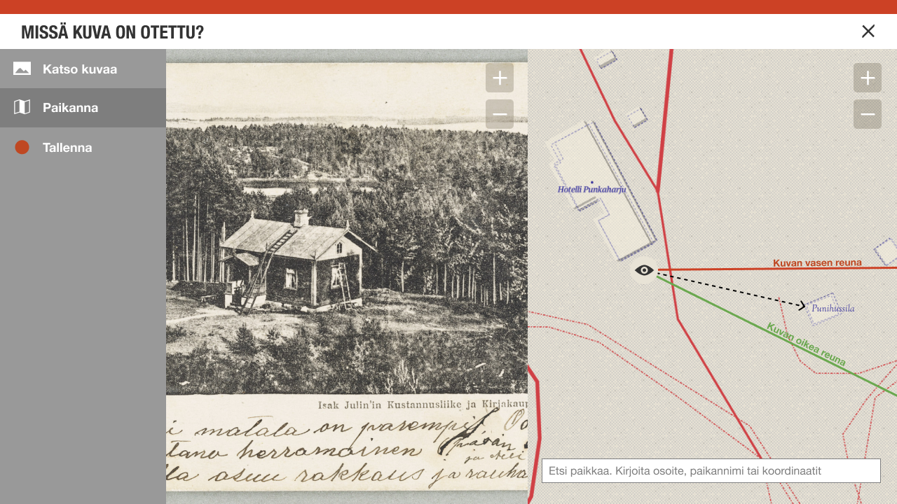
Geotagging photos is based on the work done in the Ajapaik.ee project. Ajapaik is a web app for geolocating images in a gamified manner and an Android app to do it on the move. The plan in the Wikidocumentaries project is to use the Wikidocumentaries framework for reading and writing images. | Geotagging photos is based on the work done in the Ajapaik.ee project. Ajapaik is a web app for geolocating images in a gamified manner and an Android app to do it on the move. The plan in the Wikidocumentaries project is to use the Wikidocumentaries framework for reading and writing images. | ||
| − | The | + | The NYPL Surveyor user interface may be modified for use in Wikidocumentaries. |
{{design-nav}} | {{design-nav}} | ||
Revision as of 08:24, 27 May 2018

Ajapaik web app
Geotagging photos is based on the work done in the Ajapaik.ee project. Ajapaik is a web app for geolocating images in a gamified manner and an Android app to do it on the move. The plan in the Wikidocumentaries project is to use the Wikidocumentaries framework for reading and writing images.
The NYPL Surveyor user interface may be modified for use in Wikidocumentaries.
| About | Technology | Design | Content modules | Tool pages | Projects |
| Status
Wikidocumentaries Slack |
Setting up dev environment |
Components |
Active modules Module ideas |
Visual editor | Central Park Archives |

